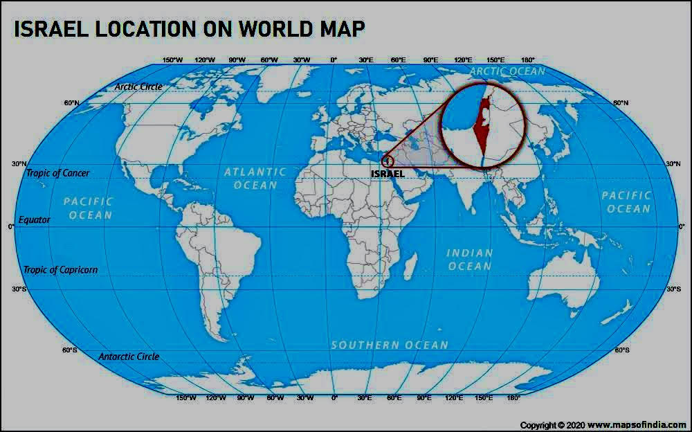
Israel is a country in Western Asia and located at the southeastern end of the Mediterranean Sea. The neighboring countries of Israel are Egypt, Syria, Jordan and Lebanon. The capital of Israel is Jerusalem, the population estimated for 2021 is 9,344,090. The official language of the country is Hebrew Arabic.
On 14 May 1948, David Ben-Gurion, the head of the Jewish Agency, declared the establishment of the Jewish state known as Israel. Almost a year later, the United Nations admitted Israel as a member state following a majority vote in favour of the resolution.
| About Israel | |
| Capital | Jerusalem |
| Total Area | 20,770 / 22,072 km2 ( 8,019 / 8,522 sq mi) |
| Water Area | 2.71 (as of 2015) |
| Population | 9,344,090 (2021 Estimated) |
| Lat Long | 3° 0′ 0″ N, 35° 0′ 0″ E ( 31, 35) |
| Continent | Asia |
| Neighbour countries | Jordan, Syria, Egypt, Lebanon |
| Official Language | Hebrew Arabic |
| Time Zone | Israel Standard Time (UTC+2) | Summer- (DST) Israel Summer Time (UTC+3) |
| Airport | Ben Gurion International Airport |
| Currency | Israeli new shekel |
: Ayushman Bharat Scheme Meaning, Eligibility and Procedure to Apply")

: Ayushman Bharat Scheme Meaning, Eligibility and Procedure to Apply")


